Document condition
The model records the captured areas at a time of your choosing.

Document the condition of your monument in a photorealistic 3D model. FlyHigh captures roofs, facades and hard-to-reach outdoor areas from the air and provides data for archives, specialist planning and communication.
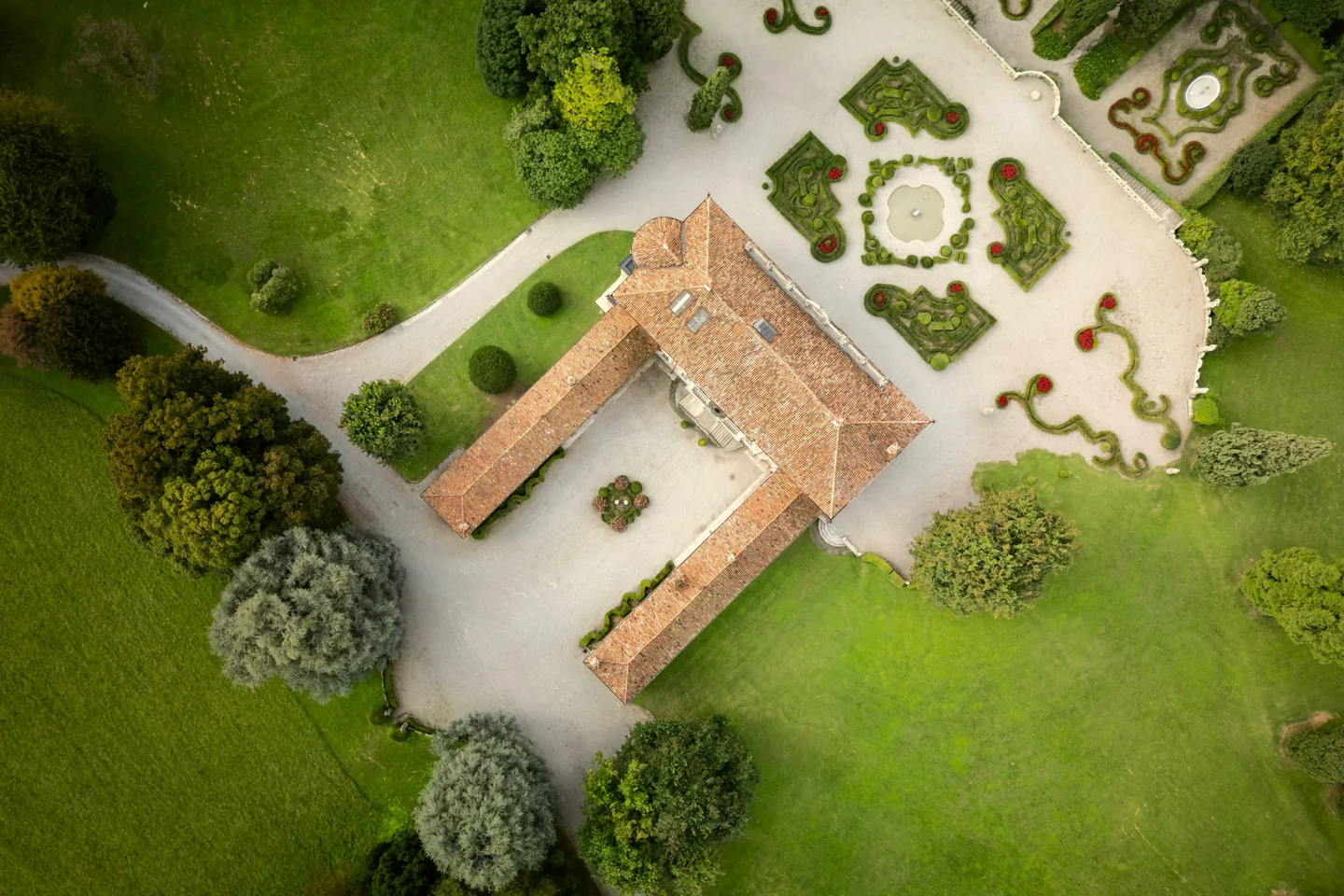
Why is it worth it?
Our 3D models document the building of today - and thus create a basis for the work of tomorrow.
The model records the captured areas at a time of your choosing.
We capture the roof and facade from the air without touching the historical substance.
We deliver results in common exchange formats (E57, LAS, OBJ, GLTF, IFC) - for HBIM, specialist software and archives.
The models can be used for tours, AR/VR and interactive exhibitions.
Results
As a 3D model, a monument can fulfill many tasks. That's why before we collect it, we determine what you want to do with the data - and what results you need to achieve it.
Point cloud for specialist work
Photorealistic 3D model
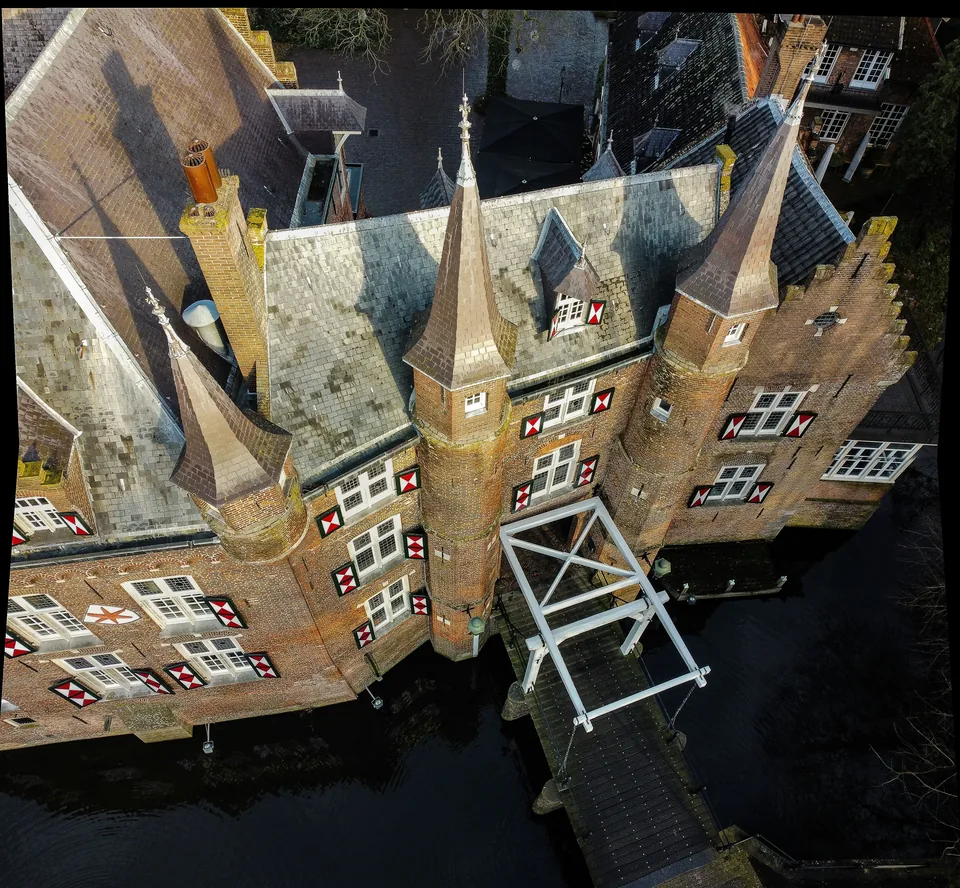
The model shows the captured outdoor areas in their spatial form and with visible surfaces. It records the condition at the time of recording and can be used for documentation, specialist planning or mediation. We hand it over in the agreed formats, for example OBJ or glTF.
Views of the building and surroundings
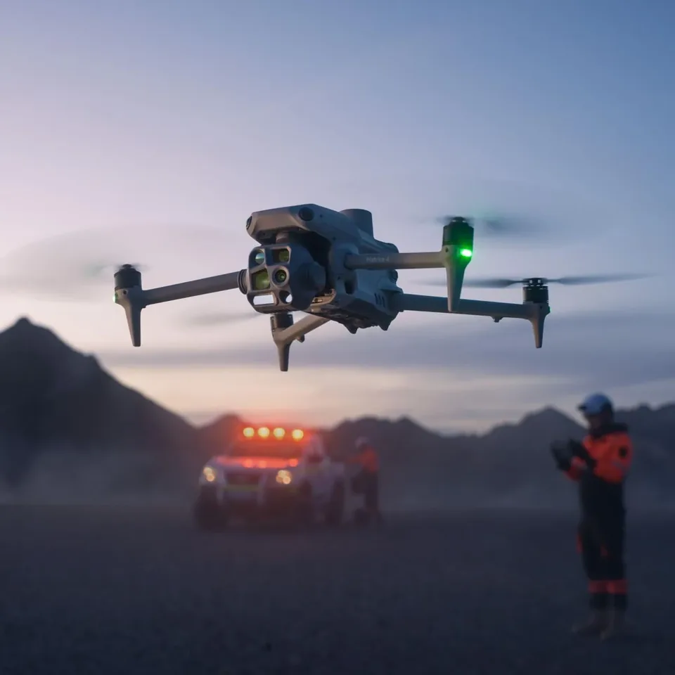
Project process
What would you like to document? Should the model be incorporated primarily into the archive, into specialist planning or into communication? We coordinate with you the areas to be recorded, the level of detail and delivery.
We check the location, plan the recordings and clarify the necessary approvals. We will coordinate with you about access, dates and conditions on the building.
We record the agreed areas. We use the data to create and check the 3D model as well as other agreed results.
You will receive the data in the agreed formats. At a joint appointment we will explain the delivery and discuss how you can continue working with it.
FAQ
A precise, photorealistic 3D model of your object - created from thousands of aerial images. It permanently documents the current state and serves as a basis for preservation, research, planning and communication.
Completely aerial. The drone captures the roof, facade and details that are difficult to access without contact - without scaffolding, without risers, without contact with the fragile substance.
Both have their place. Photogrammetry delivers photorealistic textures and precise geometry from images - ideal for documentation and communication. Laser scanning complements interiors and heavily shaded areas. We clarify in advance what your object needs – regardless of the manufacturer.
Accurate to the centimeter – georeferenced and verifiable. The level of detail required depends on the object and intended use; We define the benchmark together before the first flight.
No, we'll take care of that. FlyHigh flies with its own operating license (PDRA/SORA) - even in populated areas and sensitive zones, if desired beyond visual range (BVLOS). You will receive all documents for your records.
In open standard formats: E57, LAS, OBJ, GLTF and IFC - can be used directly in CAD, BIM and documentation systems for monument preservation. No isolated solutions, no dependencies.
The flight itself usually only takes days - instead of months with scaffolding. Model creation follows depending on the level of detail; You will receive the schedule before the project starts.
Yes, often. The digitization of cultural assets is a regular part of monument preservation funding programs at state, federal and EU levels. Which programs are suitable depends on the carrier and object.
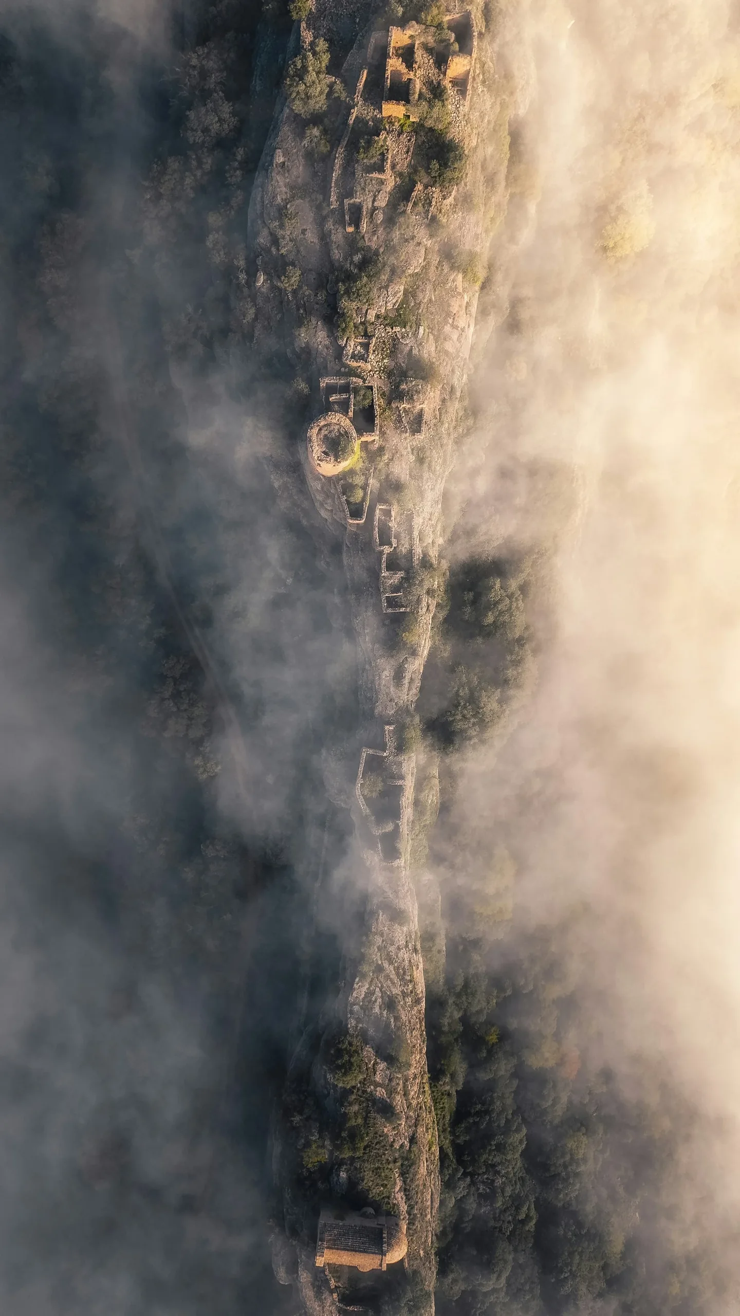
Tell us your object and your goal - you will receive an assessment of the collection and data formats within 72 hours.
Contact usServices
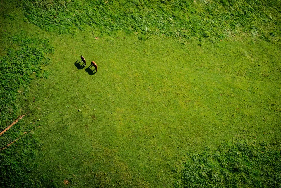
Measurements, volumes and inventory data, orthophotos, point clouds and terrain models. Captured using RTK and evaluated in Agisoft Metashape. Ready for CAD and BIM.
Focus areas
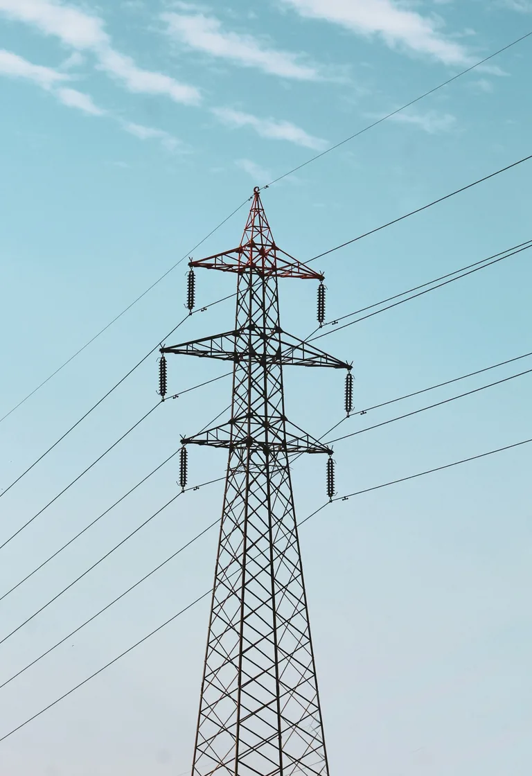
We inspect using RGB and thermal images, from a safe distance and without interrupting operations. You will receive located, dated abnormalities and a report for your specialists.
Focus areas
View inspections