Church tower, spire and roof turret
Church towers, roof turrets, crosses and weather vanes up close: loose slate slabs, open joints, vegetation and loose components become visible and located.

Drone inspection for forestry & agriculture, energy infrastructure and monument & building preservation - we check your assets contactlessly and in the shortest possible time.
Inspection
Drone inspections provide RGB and thermal data that can be fed directly into your maintenance or asset management, without any system downtime.
Nobody can see what is happening above from the ground.
We carry out aerial surveys and condition recordings of church towers, pitched roofs, facades and palace complexes from a safe distance and document visible abnormalities down to individual slate slabs and joints – in RGB and thermal images.
You can obtain 3D models and point clouds with our cultural heritage digitization service. We determine quantities and dimensions using drone surveying.
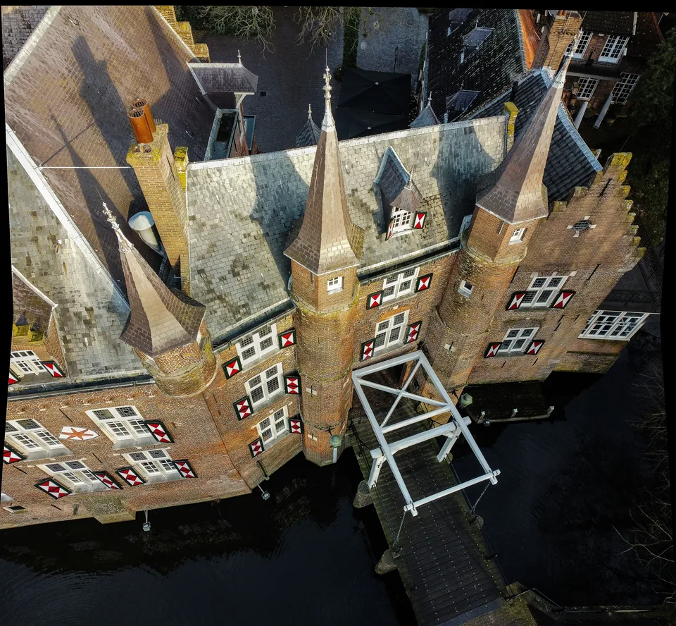
Church towers, roof turrets, crosses and weather vanes up close: loose slate slabs, open joints, vegetation and loose components become visible and located.
Pitched roofs, tiles, valleys, gutters and eaves at a glance and in detail - as a reliable image basis for roofers, planners and tender preparation.
Cracks, plaster chips, missing areas and traces of moisture on the facade, cornice and figural decorations - systematically documented instead of assessed from the ground.
Under suitable conditions, the thermal image supplements the documentation: indications of moisture, heat losses and defects in the building envelope that are not visible in the RGB image.
With the drone. We fly over the tower at several height levels and capture the spire, crown, slate covering and joints so closely that the covering and joints can be seen individually. You can name the focal points of the recording in advance. You can see the condition without having to put up scaffolding or set up a cherry picker.
Yes. Shifted, torn or missing cover can be clearly seen in the images and can be located. The assessment of what follows will be made by your expert or your roofer.
Three things: airspace, property situation and protected areas. We check the situation in advance, prepare the necessary releases and coordinate with those responsible; We take breeding times and protected species on the structure into account when planning operations. We fly on the basis of our operating authorisations - including approval for flights beyond visual range (BVLOS) in the special category according to the EU drone regulation.
Document first. We record the damage from the air at short notice so that you have a reliable image basis for the building authorities, insurance companies and tradesmen - before weather or security work changes the traces.
An organized photo documentation: sorted by component and side of the building, with overview and detailed photos, RGB and thermal images separately, each photo with a date. Delivery via download link or data medium. The data can be used directly – for reports, tenders, funding applications or insurance reports; The technical assessment is not carried out by us. We plan every flight so that only the structure is captured; We avoid people and neighboring properties in the image and make unavoidable captures unrecognizable. We only use the recordings for your order; We regulate storage and deletion contractually with you.
No. We are your data provider, not your assessor. We provide the complete visual and thermographic basis - the professional assessment remains with experts, planners and monument preservation.
Under appropriate conditions, yes. Temperature differences on the roof and facade can indicate damp areas, defects or thermal bridges; Season, time of day and weather determine the significance. These clues are the starting point for further investigation. You receive thermal images as image files with the date they were taken; We will clarify in advance whether you also need raw data.
Short term. We respond to inquiries within 24 hours; In our core region of Berlin and Brandenburg we are usually on site within 72 hours. In the case of acute damage, time counts - we clarify the clearances and fly as soon as the weather and airspace permit.
Drones open up new possibilities for farmers, forestry businesses and agricultural cooperatives. With high-resolution sensors, we deliver precise data on plant health, forest stands and water balance, flexibly scheduled and georeferenced for analysis.
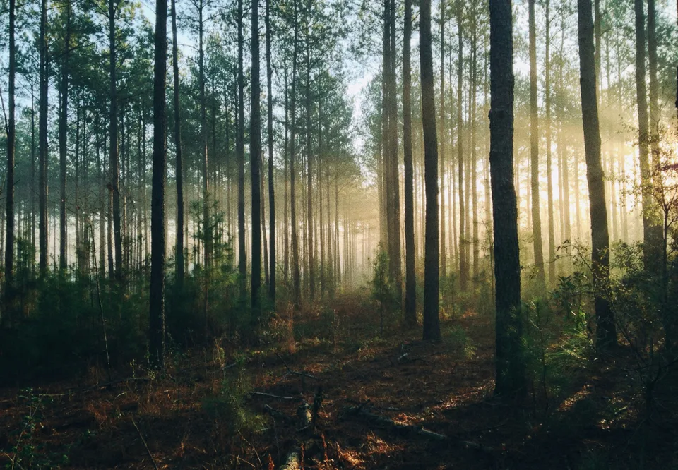
Multispectral imagery reveals plant stress and disease before they become visible. Targeted treatment instead of blanket application saves materials and protects yields.
Specialised sensors detect bark beetle infestation and storm damage even in hard-to-reach areas. This allows you to take action before the damage spreads.
Thermal drone imagery pinpoints areas of water stress. Use resources efficiently and safeguard yields sustainably.
Drone flights provide precise data on the development and yield potential of your crops. A sound basis for harvest planning, logistics and marketing.
Using multispectral imagery. Differences in vitality become visible in the images before they are noticeable from the ground. You can identify affected sub-areas and inspect them selectively.
Large areas. With our own BVLOS operating authorisation, we also fly beyond visual line of sight and capture contiguous areas in a single operation instead of many individual flights.
Yes. We fly over the affected areas at short notice and document damaged areas and individual windthrows as a basis for clearance work, reporting and planning.
As often as your requirements demand: once for an inventory or repeatedly to compare changes over the course of a season.
From the first swarming flight in spring, then repeatedly until late summer, leaving time for clearance work between flights. Multispectral images reveal suspicious stress signatures before the crown changes colour; confirmation takes place on the tree.
Infestation maps, vitality maps and orthophotos as GeoTIFF and Shapefile files, plus a terrain model if LiDAR was flown. GeoTIFF and Shapefile files can be loaded directly into QGIS or ArcGIS; we coordinate the import into your forestry software with you in advance.
You can see gaps in the stand, regeneration and height structure across the entire area rather than at individual points. With LiDAR, we can also capture the terrain beneath the canopy. This allows you to plan planting, maintenance and road construction using up-to-date data.
Yes. We capture damaged areas, damage patterns and affected proportions from the air and provide a map as a basis for reporting and coordination. Our owner is an appointed game warden and contributes practical hunting expertise to the documentation.
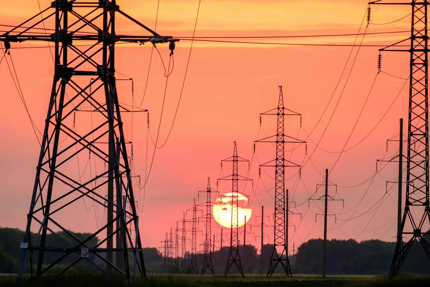
Detect damaged areas on lines, masts and systems early - without interrupting operations. We capture RGB and thermal images and provide data that flows directly into your maintenance system.
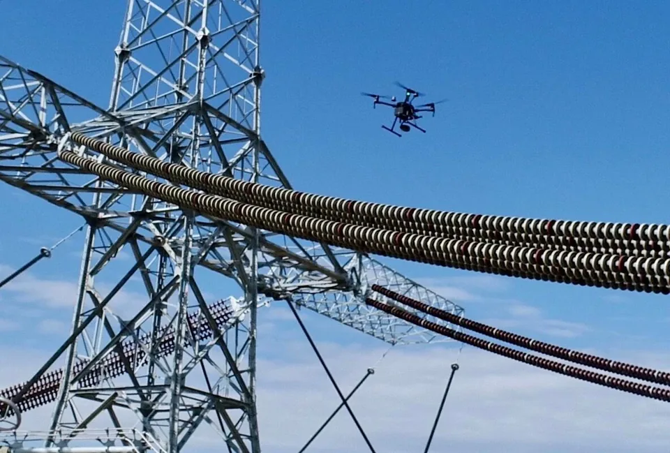
Visual and thermal inspection of cables, masts and systems.
Anomalies documented and located - for maintenance and prioritization.
As a recurring control service upon request.
Using special gas cameras, we quickly and safely locate the smallest leaks in gas or compressed air lines from the air.
Electricity pylons, conductor cables and substations as well as oil and gas pipelines. The inspection enables predictive maintenance – without any shutdowns during network operation. We have the necessary BVLOS approval for flying over long distances and over motorways. In this way, we record route sections in one go, without blocking traffic.
This is about the condition of the infrastructure (inspection); The geometry of the route is provided by drone measurement (energy routes / BVLOS).
No. In 99% of cases, your production will continue without interruption. We inspect from a safe distance during ongoing operations.
Electricity pylons, conductor cables and substations as well as oil and gas pipelines. The inspection enables predictive maintenance – without any shutdowns during network operation.
Yes. We can equip our drones with special gas cameras to quickly and safely locate even the smallest leaks in gas or compressed air lines from the air.
Yes. We have the necessary BVLOS approval for flying over long distances and over motorways. In this way, we record route sections in one go, without blocking traffic.
Out of sight. With our BVLOS operating license, we record many kilometers of cable in one operation - you receive geo-referenced RGB and thermal image data that can be used directly in your maintenance and asset management.
Yes. Thermal abnormalities on insulators, terminals and connections are visible in the thermal image - documented and located for your maintenance and prioritization.
No. We inspect from a safe distance during ongoing operation - without switching off or stopping the system.
Yes. In addition to routes, we inspect substations, masts and associated systems - visually and thermally, in one operation.
Safety First
FlyHigh is approved for drone flights in Germany, Poland, Switzerland and Austria - including urban zones and sensitive airspaces. Other EU countries can be added within 2-4 weeks.
The approvals are based on standardized risk analyzes (PDRA / SORA) and require extensive security measures, which we fulfill as a certified provider.
Object, location and desired results: Tell us what you need and we will discuss the scope of your drone inspection and the next steps.
Arrange a consultation