Long distances in one go
With BVLOS approval, we record many kilometers of route in one operation - without sightlines and without interruption.

Our drone survey flights deliver orthophotos, volume reports and 3D point clouds in many export formats. Drone surveying for Berlin and Germany.
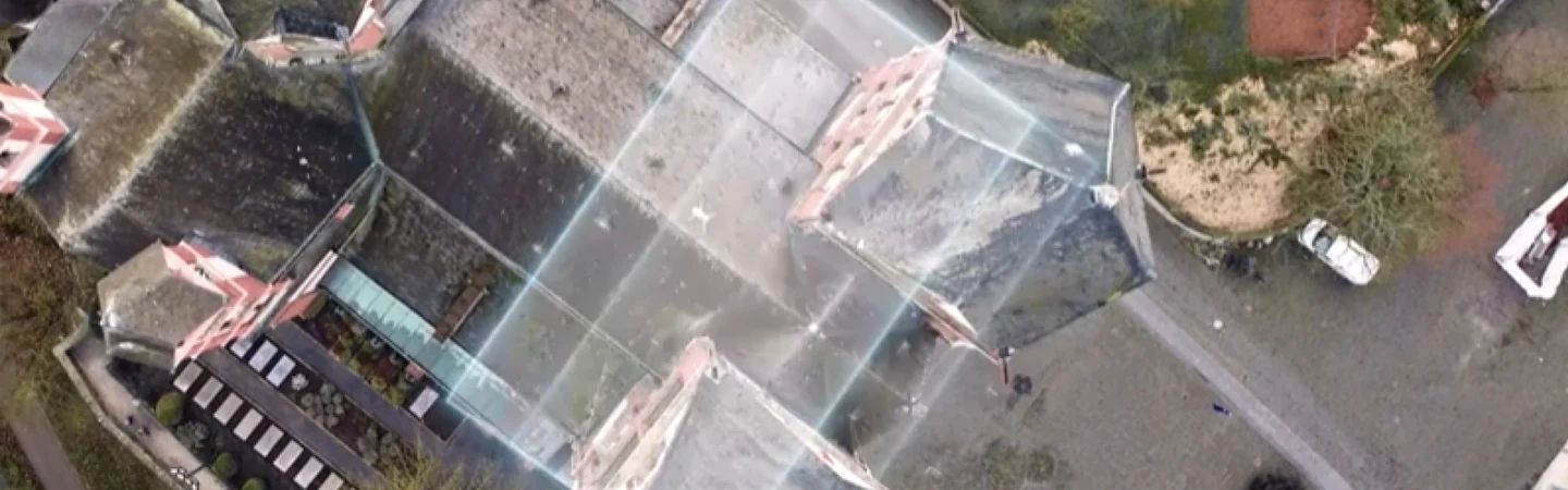
Surveying
Drone surveying for everyone who plans, checks, invoices or documents – and needs absolute precision.
Surveying
Drone surveying for everyone who plans, checks, invoices or documents – and needs absolute precision.
Surveying
Drone surveying for everyone who plans, checks, invoices or documents – and needs absolute precision.
We record electricity, oil and gas pipelines as well as highways and traffic routes from the air. Thanks to BVLOS approval, we fly long distances and highways in one go - without blocking traffic.
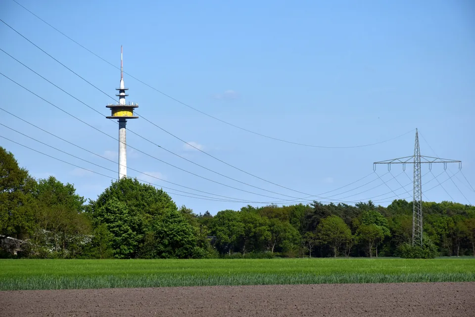
With BVLOS approval, we record many kilometers of route in one operation - without sightlines and without interruption.
We have the necessary permits for flying over motorways and obtain all necessary clearances from the responsible authorities.
We record electricity pylons, conductor cables and substations as well as oil and gas pipelines as a precise 3D point cloud - the database for planning and maintenance.
Digital terrain models and point clouds provide a reliable basis for route planning and corridors in the shortest possible time.
Yes, of course. We see ourselves as your “flying employee”. You will normally receive the georeferenced images and the finished point cloud from us for the final plan creation in your office - but we can also provide you with the raw data.
Yes, that's exactly what we're here for. If your measurement teams are busy, we take over data collection in the field quickly and flexibly so that you don't have to reject any orders.
Our measurement achieves a positional accuracy of a few cm and serves as a verifiable, objective basis for the exact billing of earthworks and measurement services.
No, your construction site operations can continue without interruption. The drone operates from a safe height while your machines and employees remain productive. The drone pilot can also be outside the construction site during the flight so as not to disrupt operations.
Yes. You receive the orthophotos as GeoTIFF files, which you can load directly into any common geoinformation system as a current map basis without conversion.
Yes, but we'll take care of that completely. We have the necessary permits and obtain all necessary releases from the relevant authorities. We have the necessary BVLOS approval for flying over long distances and over motorways.
Yes, when measuring areas such as excavations or terrain models, drone surveying is significantly more cost-efficient than manual surveying due to its enormous speed. Drone surveys also enable very high point densities; this is not traditionally possible with an RTK rover or tachymeter.
BVLOS means: We fly beyond the pilot's line of sight - with an operating license in the special category (EU 2019/947, SORA/PDRA). In this way, we record many kilometers of route in one operation - without chains of sight posts, without interruption. We bring the permits with us.
Construction measurements by drone: A reliable measurement ensures the traceability of construction progress, additions and billing. Using a drone you receive a comprehensive, neutral and verifiable data basis. It is RTK-supported, photogrammetrically evaluated and repeatable on every billing date.
A centimeter-precise point cloud (Agisoft Metashape) is created from the flight. We compare them with your planning and the previous situation.
Repeated flights using identical methodology provide evidence of performance levels at defined points in time. Appointment after appointment documented in a comprehensible and verifiable manner.
Public clients check services and supplements using a neutral data basis. Regardless of the executing company and its measurements.
We do not determine official or cadastral-relevant border points. This is left to the publicly appointed surveyor; we work with them.
The evaluation is RTK-based and photogrammetric with centimeter-precise point clouds. The specific accuracy depends on the flight, control points and object and is determined on a project-by-project basis.
The evaluation is created in Agisoft Metashape and is exported to common CAD and GIS formats so that you can further process the data directly.
No. We do not determine any official or cadastral-relevant border points. The publicly appointed surveyor (ÖbVI) is responsible for this and will work with them if necessary.
According to VOB, only the service actually provided is to be remunerated. Neutral, verifiable measurement documentation supports precisely this verification.
Successive flights using identical methodology show changes between two dates and make performance levels over the construction period comparable and reliable.
Site plan or planning data as DWG, DXF or IFC, the location of your control points and a contact person on the construction site. We will set the recording time together on the billing date.
Excavation and application quantities, backfills, areas of surface and base layers as well as cubature per position. The basis is the point cloud of the flight, compared to the previous situation or your planning. We coordinate the assignment to your service items.
Yes. We place the point cloud over your target model and display deviations in position, height and quantity, per position and marked in color. This way you can recognize excess and short quantities before invoice verification.
Highly precise 3D models, 3D point clouds - without stopping production, with data delivery in just a few days for volume calculation, stockpile management, inventory and documentation.
Drones provide accurate data for warehouse and inventory accounting - more accurate than estimates and without any downtime in operations.
Regular surveys enable strategic planning, fee calculation and provide reliable data for approval processes.
3D models of the excavation walls support blast planning, improve safety and completely document the excavation progress.
Current drone images of the entire factory premises improve internal communication and help with planning storage areas, paths or systems.
Our volume calculation of bulk material heaps is accurate to within a few cm. This provides you with reliable data for your inventory, sales and accounting.
No, your business will continue to operate without interruption. Neither conveyor belts nor truck traffic need to be stopped for drone measurements.
Yes. We create an exact 3D model of your landfill and precisely calculate the remaining capacity for your strategic future planning.
Yes. Our objective and transparent measurement data and reports serve as recognized, verifiable evidence for the tax office or environmental or mining authorities.
Yes, we are preparing that. A weatherproof drone station (DJI Dock 3) should be on your premises. The drone flies according to plan, captures dumps and mining walls and lands for loading. We fly locally until site-specific approval is granted.
Sand, gravel, grit, excavated earth, recycled material, compost or salt, whether stored freely, in boxes or under cover. We also record irregularly shaped or overgrown heaps; We supplement areas that are difficult to see with additional images and identify areas that are hidden.
Via a surrounding polygon at the foot of the heap. The base area is the terrain from a previous aerial survey, your as-built plan or a height level that you specify, which can be understood even on sloping ground.
On the inventory date, at the monthly or quarterly closing or whenever inputs and outputs need to be reconciled. From the second flight onwards, we will provide a comparison with the previous appointment.
Safety First
FlyHigh is approved for drone flights in Germany, Poland, Switzerland and Austria - including urban zones and sensitive airspaces. Other EU countries can be added within 2-4 weeks.
The approvals are based on standardized risk analyzes (PDRA / SORA) and require extensive security measures, which we fulfill as a certified provider.
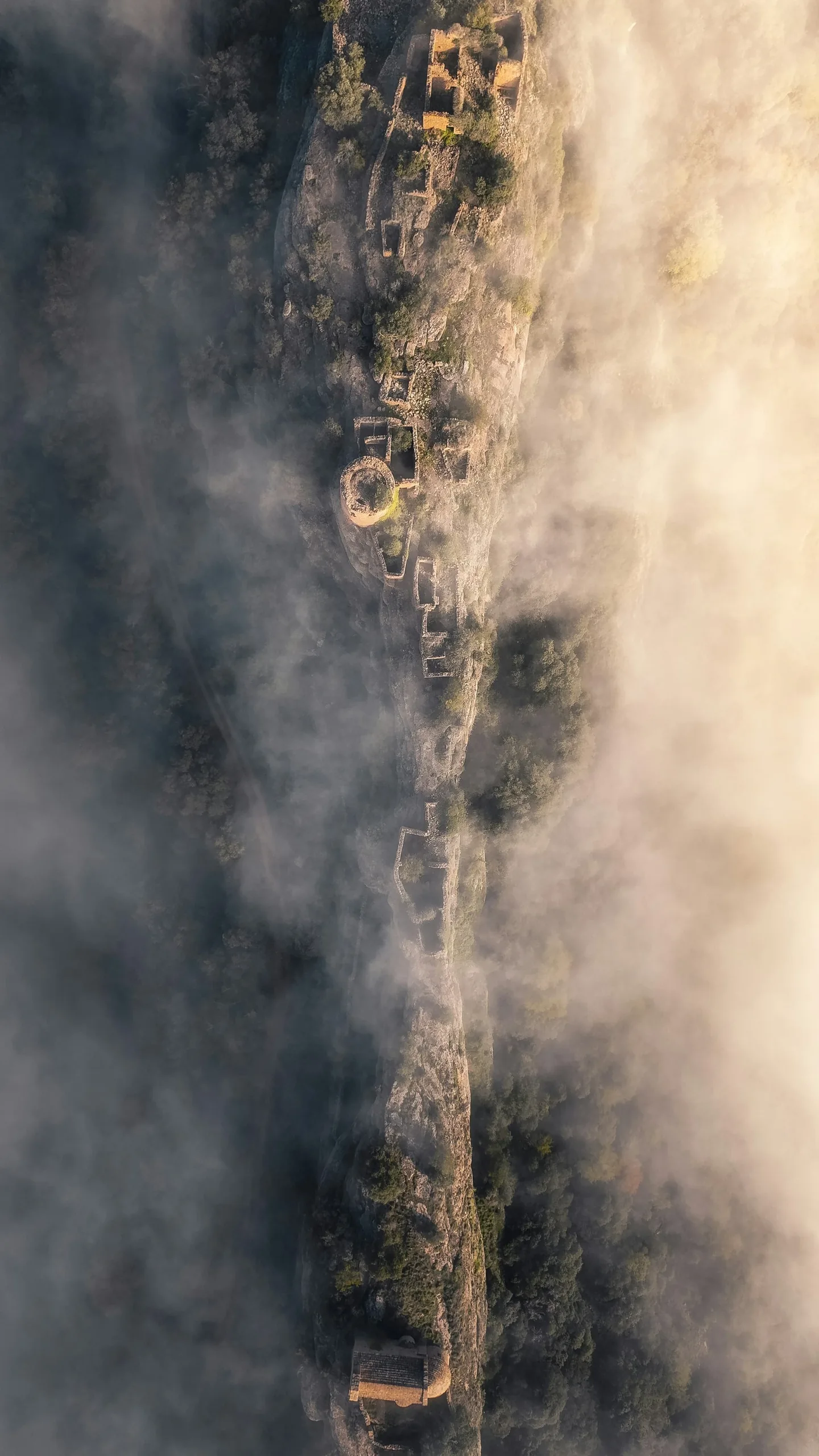
Object, location and desired results: Tell us what you need and we will discuss the scope of your drone survey and the next steps.
Arrange a consultation