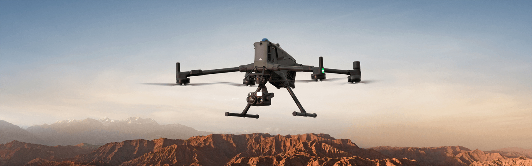
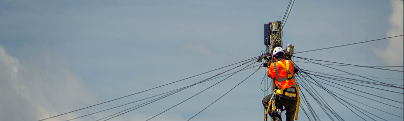
What advantages do drone inspections offer over traditional methods?
Drone inspections are faster, safer, and more cost-effective. They enable inspections without downtime, reach hard-to-access areas, and deliver more precise data via high-resolution cameras and thermal sensors. The result: reduced outages, lower risk for personnel, and better maintenance decisions.
Do we need a special permit for the drone flights?
No—FlyHigh handles all required flight permits. Thanks to our PDRA and SORA certifications, we operate legally and safely even in complex, sensitive areas such as urban zones, near airports, or over industrial sites. You’ll receive all necessary documentation for your records.
In which file formats are the results delivered?
We deliver data in all common industry formats to ensure seamless integration with your existing workflows. These include GeoTIFF for orthophotos, LAS/LAZ for point clouds, DWG/DXF for CAD applications, and IFC for BIM software. On request, we can also provide specific formats for your software.
How long does it take from commissioning to data delivery?
Project timelines depend on size and complexity. Smaller inspection projects can be completed within 1–3 days. Larger surveying projects typically take 3–7 days.
What role does weather play in drone operations?
Our professional drones are partly weatherproof (IP55) and can operate in winds up to 15 m/s and light rain. For optimal data quality, we prefer dry conditions and moderate winds. We continuously monitor the forecast and plan flexibly to ensure the best results.
Is there an option for recurring inspections or monitoring?
Yes, we develop tailored monitoring programs for regular inspections and surveillance. These can be monthly, quarterly, or yearly and are ideal for tracking construction progress, assessing asset condition, or analyzing environmental changes. Long-term contracts offer cost benefits.
How is pricing structured?
Our pricing is transparent and project-based. Inspections are often billed per asset or on a time-and-materials basis, while surveys are typically charged per hectare. For each project we provide a detailed fixed-price quote with no hidden costs. Contact us for a no-obligation estimate.
In which regions are your services available?
We primarily operate in Germany, Poland, Switzerland, and Austria. Thanks to harmonised EU regulations, we can flexibly extend our services to other European countries. For international projects, we can obtain the required permits within 2–4 weeks.


 We hold PDRA/SORA special flight authorisation.