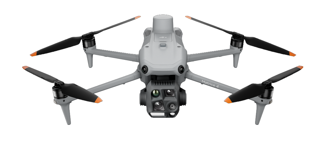


Leverage the time and cost advantages of our drone services for your project. We’re happy to advise you in a free introductory call on your options.
Get in touchSince 2016, we’ve been producing professional drone footage for the film industry.
Today, our missions also make industrial inspections and surveying simpler, safer, and more precise.

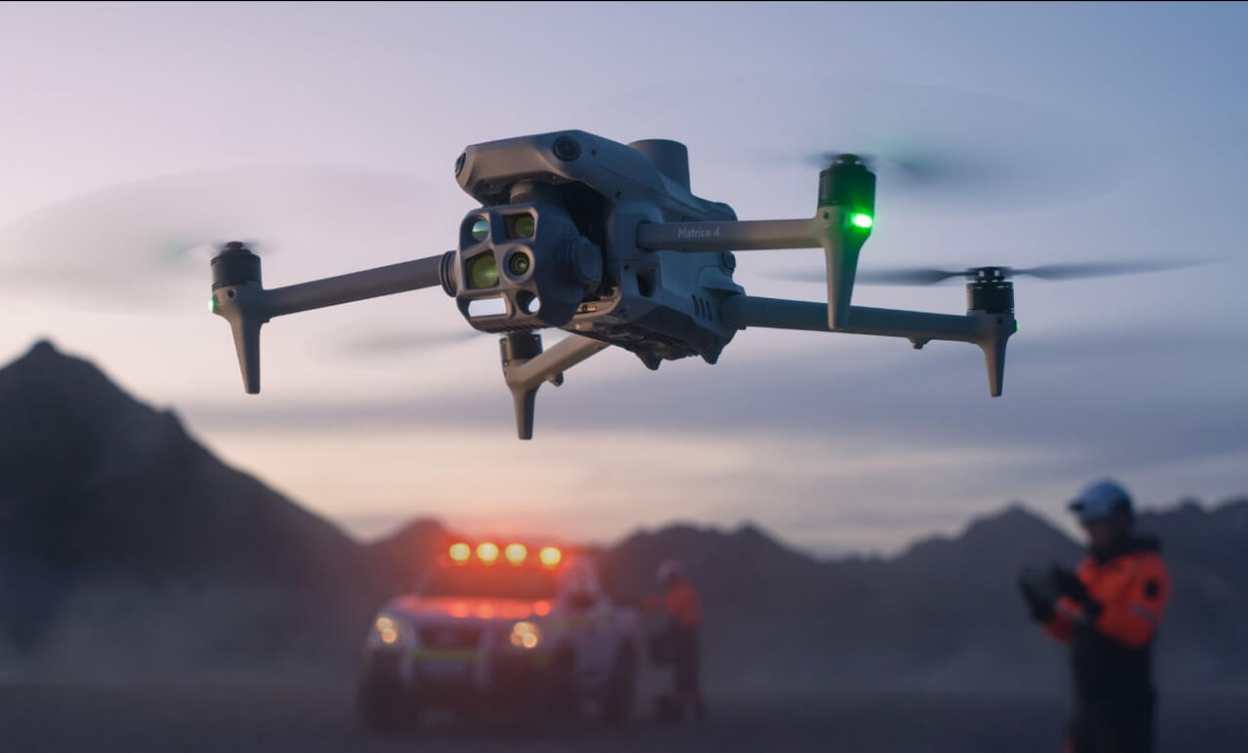
Safety First
Every flight follows a two-stage risk assessment & redundant pre-flight checks.
Experienced pilots
Our remote pilots are officially licensed and have a minimum of five years of flight experience.
Precision
We deliver razor-sharp survey data your planners, engineers, and decision-makers can rely on.
Reliability
Robust processes, redundant systems, and transparent communication ensure your project runs as smoothly as possible.
Safety first: OurOperating permits
FlyHigh is authorized for drone flights in Germany, Poland, Switzerland, and Austria—including urban zones and sensitive airspaces. Other EU countries can be added within 2–4 weeks.

Within populated areas

Near critical infrastructure

Over industrial or construction sites

Below the regular airspace
The permits are based on standardized risk assessments (PDRA/SORA) and require extensive safety measures that we, as a certified provider, fully meet.